Finally we’ve got ashfall in Iceland!
I mean not just around Eyjafjallajokull glacier but as far north as Husavik and Skagafjörður (Skaga fjord). As Meteo office said (Icelandic one – so we can trust these words) in its Assessment of Eruption in Eyjafjallajökull, Iceland for the 19 May 2010 17:55
«Ash has fallen in the south at Flúðir, Fljótshlíð and Rangárþing ytra. Ash has also fallen with rainfall in the north, in Húsavík and Skagafjörður, right before noon.»
It’s about 290 km (~160 miles) north from volcano.
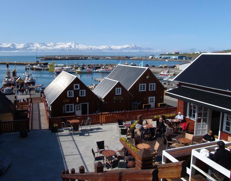
Very nice town btw
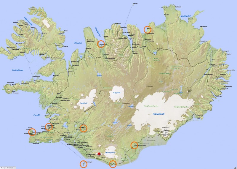
I attached the map of Iceland showing eruption site (star) and places where ash was “detected” (circles). Most western circle just marks Keflavik airport (but so far no ash was detected there – I just showed the place). And most northern circle – Husavik. Kind of surprised Akureiry didn’t get any ash (it’s between two circles in the north).
Not sure whether this was ash or what but I noticed some unusual ash-looking stuff on my balcony today. I would say it’s a little more then in usual windy dusty day in downtown but there was no wind nor “regular” dust today. So I assume this is really ash!
PS. To see full size map (not in the Lighbox frame) – right click and select Open Link in New Tab/Window.

